Hazardous Weather Outlook from National Weather Service
Posted onAuthorTalk2shariComments Off on Hazardous Weather Outlook from National Weather Service 1722 Views
Hazardous Weather Outlook
National Weather Service Charleston WV
505 AM EDT Sat May 13 2023

Greenup-Carter-Boyd-Lawrence KY-Gallia-Lawrence OH-Dickenson-
Buchanan-Wayne-Cabell-Mason-Jackson WV-Wood-Lincoln-Putnam-Kanawha-
Roane-Wirt-Calhoun-Ritchie-Doddridge-Mingo-Logan-Boone-Clay-Braxton-
Gilmer-Lewis-Harrison-Taylor-McDowell-Wyoming-Upshur-Barbour-
Northwest Raleigh-Southeast Raleigh-Northwest Fayette-
Southeast Fayette-Northwest Nicholas-Southeast Nicholas-
Northwest Webster-Southeast Webster-Northwest Pocahontas-
Southeast Pocahontas-Northwest Randolph-Southeast Randolph-
505 AM EDT Sat May 13 2023

This Hazardous Weather Outlook is for northeast Kentucky, Lawrence
and Gallia counties in far southeast Ohio, southwest Virginia and
much of West Virginia.

.DAY ONE...Today and Tonight.

Showers and afternoon thunderstorms, some with heavy rain, will
affect the area today. Heavy downpours or repetitive showers over
the same areas may result in localized flooding.

.DAYS TWO THROUGH SEVEN...Sunday through Friday.

Showers and possible thunderstorms, some with heavy rain, will
affect the area Sunday night. Heavy downpours or repetitive showers
over the same areas may result in localized flooding.

.SPOTTER INFORMATION STATEMENT...

Weather spotters are encouraged to report significant weather
conditions by calling the toll-free spotter hotline, or by other
methods detailed at www.weather.gov/rlx/reports.
Photos provided by Melissa Keener The Grantsville Lions Club and the Town of Grantsville spent Friday evening honoring local veterans for their service to our Country by providing them an evening of entertainment and food. The veterans enjoyed a spaghetti dinner served with the help of local Girl Scout Troop 38205 who offered their service Read More…
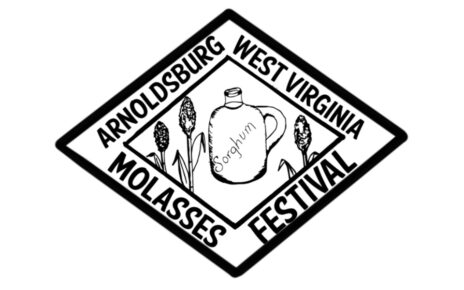
The Annual West Virginia Molasses Festival event is scheduled for September 28th -30th, 2023 in Arnoldsburg, WV. The Committee is now looking for Vendors! They have a special interest in vendors that make products with Molasses. If you’re interested in setting up at the event, please contact the committee through their Facebook site.
The Town of Grantsville hosted their annual block party with a trunk or treat event and trick or treat time that followed on Saturday, October 26th, 2024. Trunk or Treat Winners Costume Winn’ers Business Winners Calhoun FRN D&P Sales Minnie Hamilton Long Term Care Thank you to Rick Sampson for making the Night Special with Read More…


