












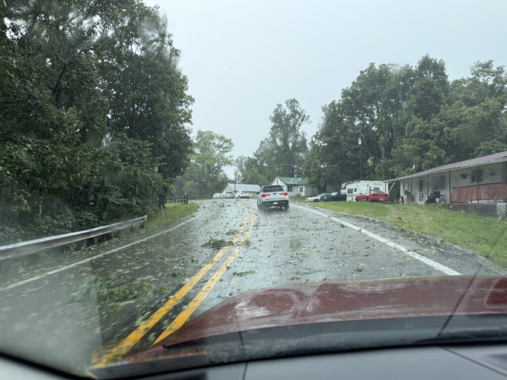
On Monday August 10, 2026, severe thunderstorms swept across West Virginia, including Calhoun County. A severe thunderstorm capable of producing a tornado was tracked around 8 miles northeast/north of Grantsville moving east at roughly 30 mph. The National Weather Service in Charleston issued a tornado warning covering northeastern Calhoun County, along with parts of southeastern Ritchie and northwestern Gilmer counties.
The warning flagged tornado and quarter-size hail risks, with potential damage to roofs, windows, vehicles, mobile homes, and trees, urging residents to shelter in a basement or interior room. Forecasters noted flying debris would be dangerous for anyone without shelter, and tree damage was likely.
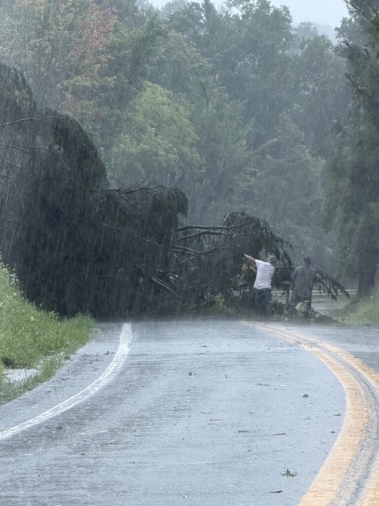
Route 16 South, just before the Mt. Zion Community Park. Two unknown good samaritans sprung into action to saw a clear path for vehicles to get through. A separate flash flood warning affected northeastern Calhoun, southeastern Ritchie, and northwestern Gilmer counties, tied to the same storm system. This was part of a broader outbreak of tornado-warned storms across southeastern Ohio and western WV. Despite the multiple tornado warnings across the Tri-State area, no touchdowns had been confirmed at last report. The wider system also brought heavy rain — Charleston’s average August rainfall is around 3.75 inches, and some areas saw over 6 inches, close to double that — driving flash flooding concerns into Tuesday and tree limbs and debris covered the roads making driving hazardous.
Following the storms the County had and still has multiple electric outages due to broken poles and downed lines. First energy and contracted electric repair companies worked diligently to make repairs and restore the electricity as quickly as possible.

The Calhoun Department of Highways, after having spent several days helping other counties in weather related clean up, are faced with additional work in their own area removing storm debris.
The current forecast is:
Aug 12-Aug 21, 2026
- Wed, Aug 12
 Today75°FPatchy fog this morning. Mostly cloudy this morning, then partly sunny with isolated showers and thunderstorms this afternoon. Some thunderstorms may produce heavy rainfall this afternoon. Highs around 80. West winds around 5 mph. Chance of rain 20 percent.Tonight66°F
 Mostly cloudy with isolated thunderstorms. Scattered showers, mainly in the evening. Patchy fog after midnight. Some thunderstorms may produce heavy rainfall. Lows in the mid 60s. Southwest winds around 5 mph. Chance of rain 50 percent.Hourly details
 - Thu, Aug 1377|67°F
 70% Chance of Storms
 - Fri, Aug 1477|64°F80% Chance of Storms
- Weekend Weather
- Sat, Aug 1581|67°F
 Mostly Sunny
 - Sun, Aug 1683|70°F60% Chance of Storms
- Mon, Aug 1777|62°F70% Chance of Storms
- Tue, Aug 1877|65°FMostly Sunny
- Wed, Aug 1982|66°F
 Sunny
Sunny - Thu, Aug 2079|63°F
 40% Chance of Rain
 - Fri, Aug 21, 79|63°F40% Chance of Rain