








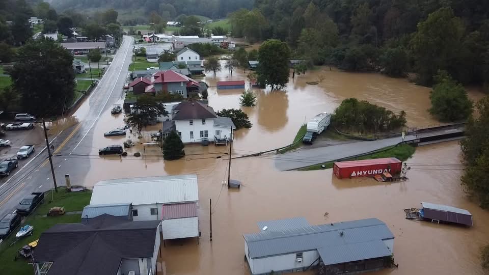
Arnoldsburg area Drone photos by Trenton Howerton
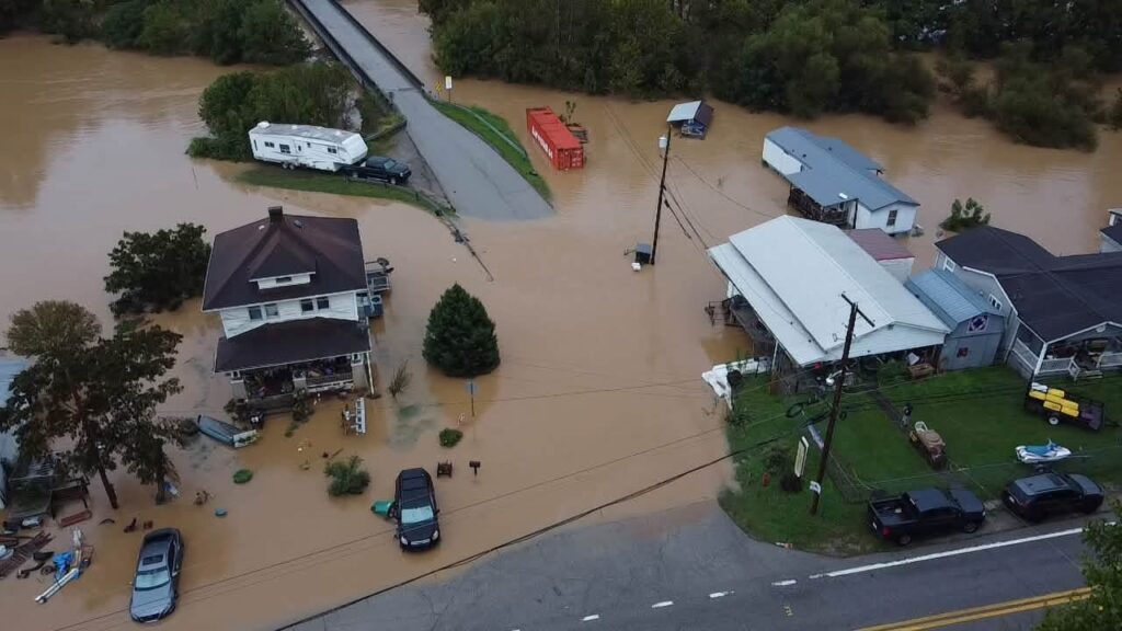
Drone photos by Trenton Howerton
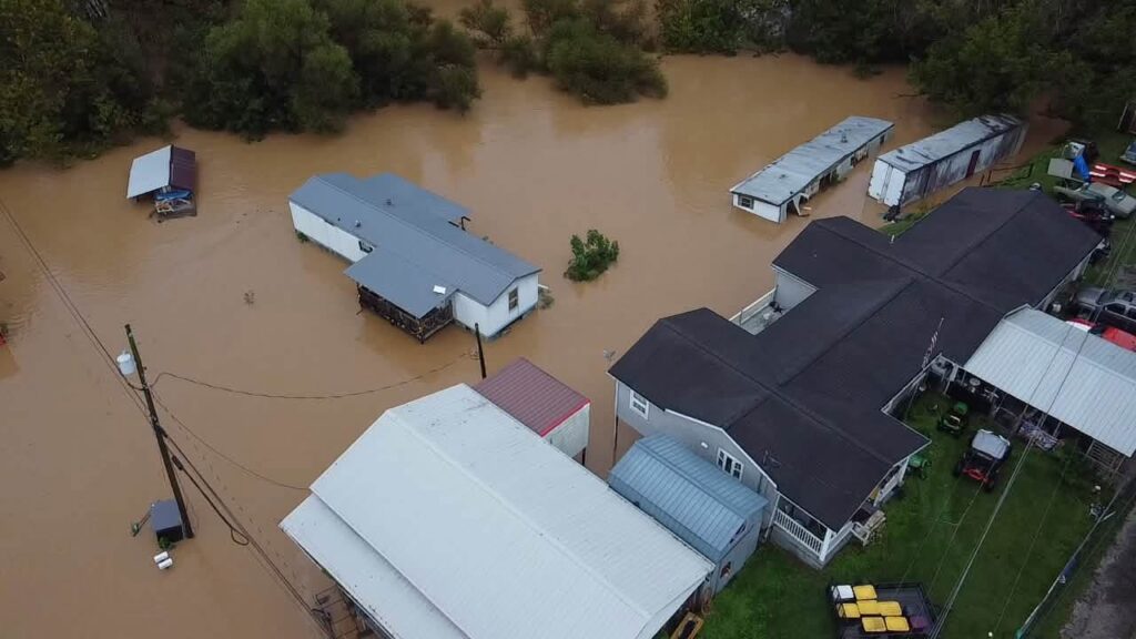
Drone photos by Trenton Howerton
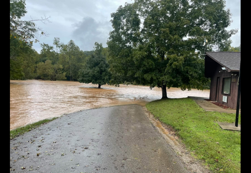
Cedar Creek State Park flooding
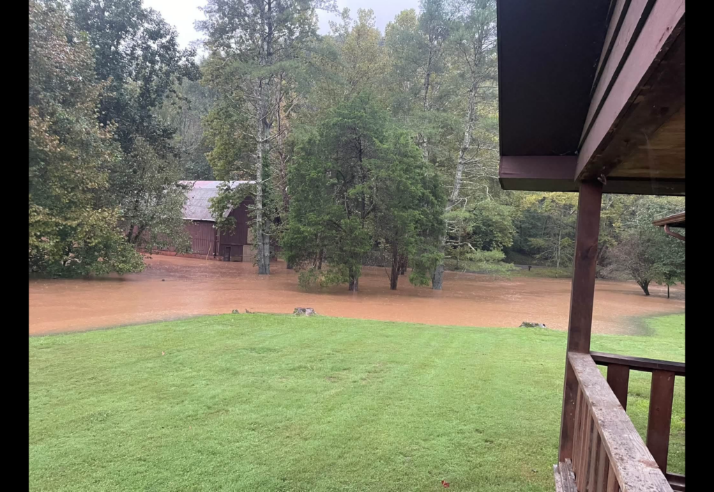
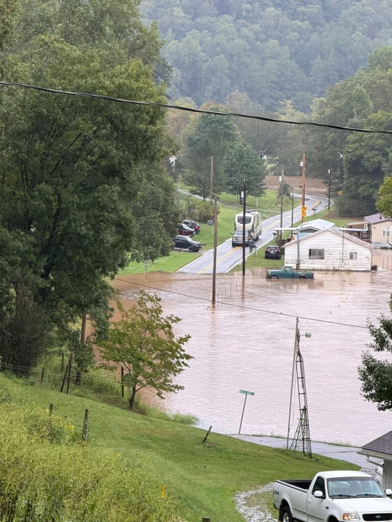
Cedar Creek Area – Gilmer County
Arnoldsburg area
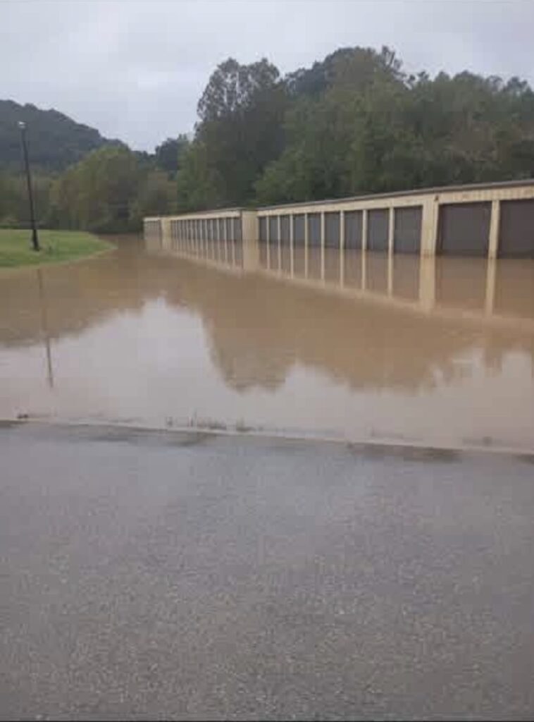
Storage units in Arnoldsburg
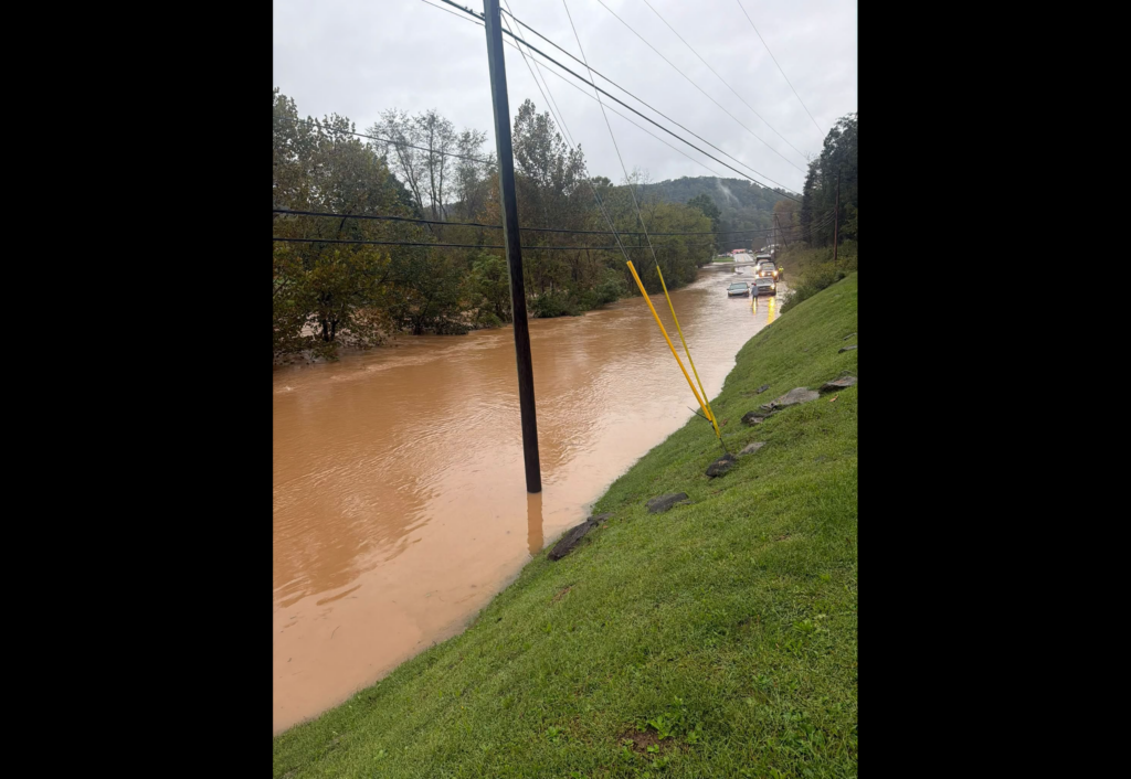
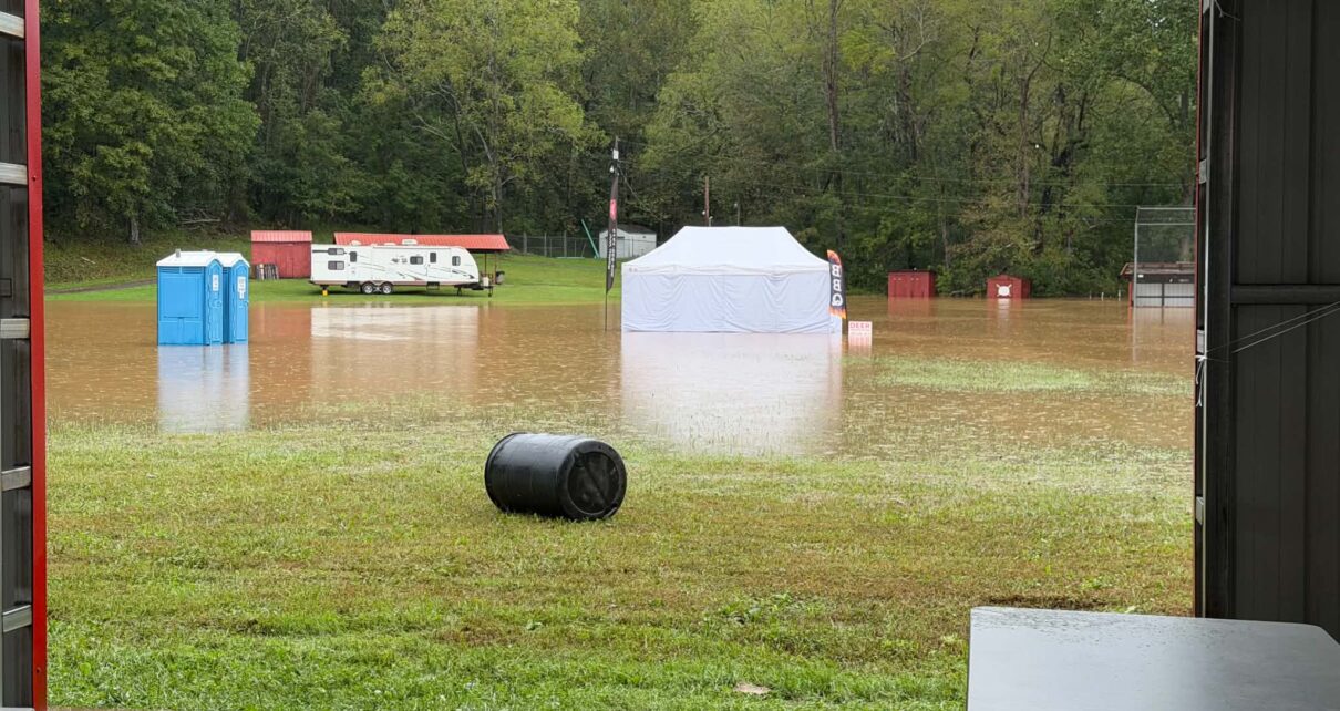
Molasses Festival Grounds has partial flooding
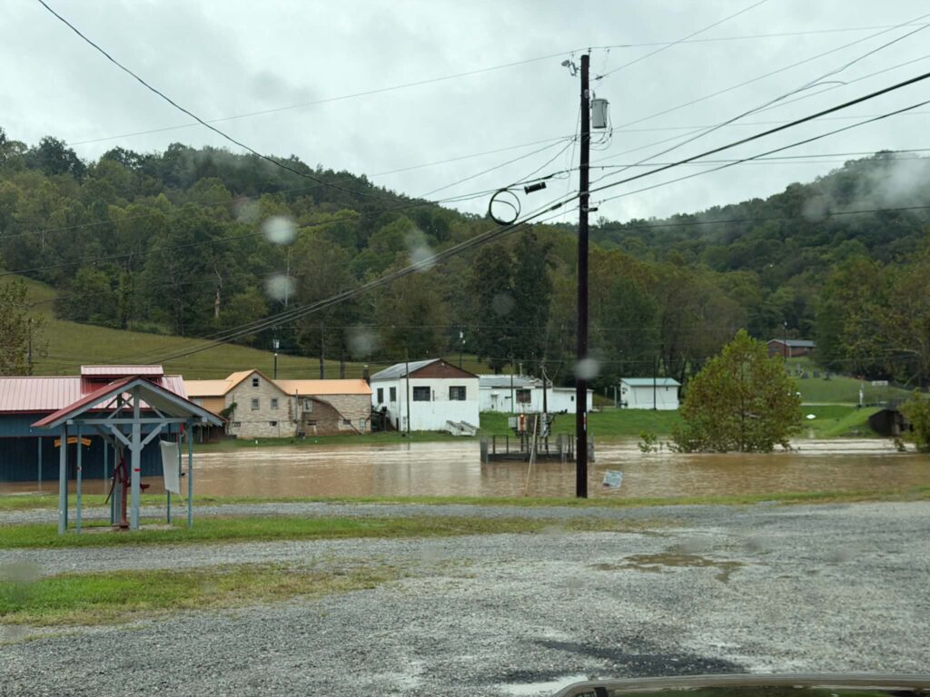
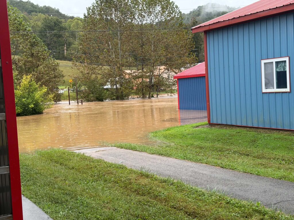
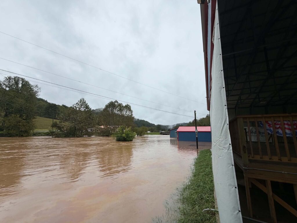
Molasses Festival grounds
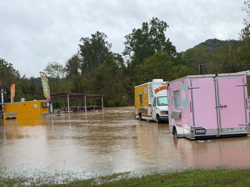
Molasses Festival vendors
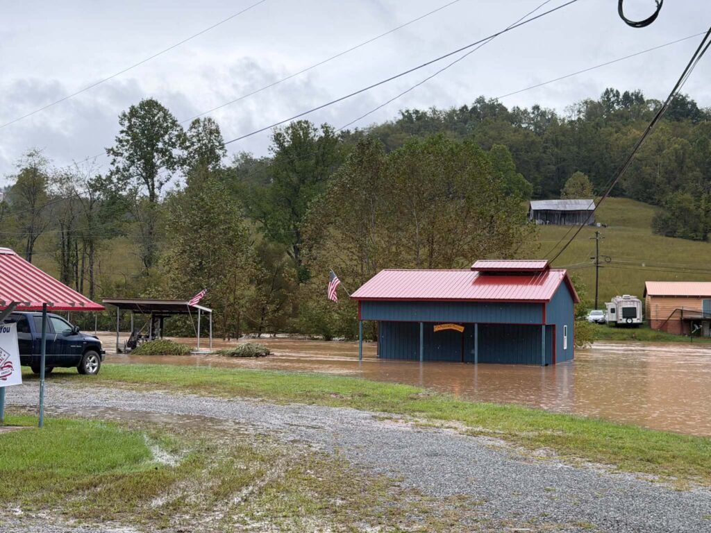
Arnoldsburg park
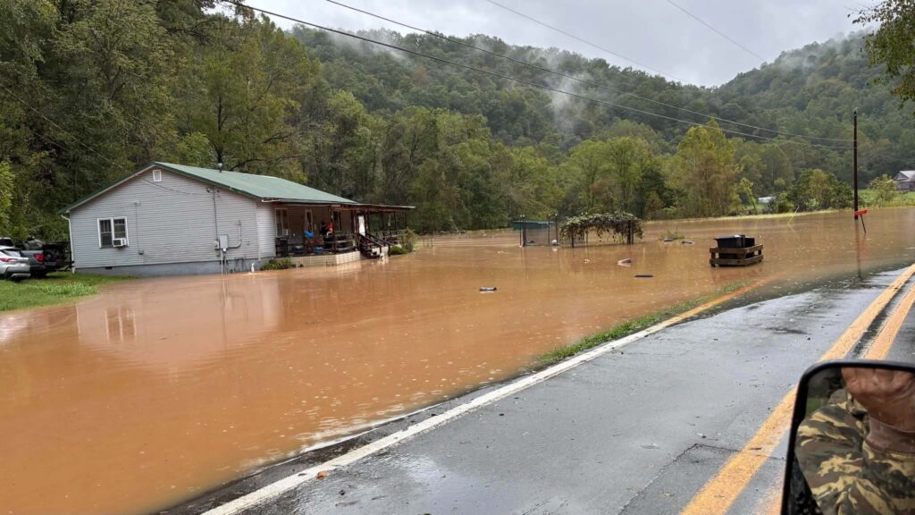
Rosedale Road in Stumptown, W
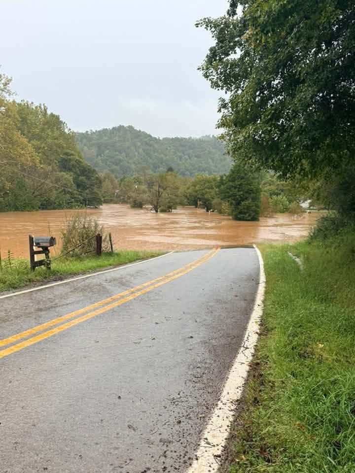
Rosedale Road just before old Aunt Minnie’s Farm Location
Flood Warning
National Weather Service Charleston WV
712 AM EDT Thu Sep 24 2026

Braxton WV-Calhoun WV-Gilmer WV-Ritchie WV-Roane WV-
712 AM EDT Thu Sep 24 2026

...FLOOD WARNING IN EFFECT UNTIL 115 PM EDT THIS AFTERNOON...

* WHAT...Flooding caused by excessive rainfall is expected.

* WHERE...Northeastern Roane County in central West Virginia...
  Western Braxton County in north central West Virginia...
  Calhoun County in north central West Virginia...
  Gilmer County in north central West Virginia...
  South Central Ritchie County in northwestern West Virginia...

* WHEN...Until 115 PM EDT Thursday.

* IMPACTS...Flooding of rivers, creeks, streams, and other low-lying and flood-prone locations is imminent or occurring.

* ADDITIONAL DETAILS...
  - At 712 AM EDT, Doppler radar indicated heavy rain due to
    thunderstorms. Flooding is ongoing or expected to begin shortly in the warned area.
  - Some locations that will experience flooding include...
    Glenville, Sutton, Grantsville, Gassaway, Cedar Creek State Park, Arnoldsburg, Normantown, Stumptown, Shock, Rosedale, Nicut,
    Millstone, Cedarville, Tanner, Mount Zion, Orma, Wilsie, Big
    Springs, Burnt House and Frametown.
  - http://www.weather.gov/safety/flood

PRECAUTIONARY/PREPAREDNESS ACTIONS...

Turn around, don`t drown when encountering flooded roads. Most flood deaths occur in vehicles.

Report flooding to the National Weather Service by calling toll free, 800 401 9535, when you can do so safely.