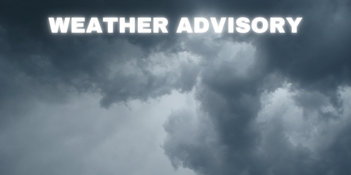
The National Weather Service has issued a severe thunderstorm watch that is to expire at 3 a.m., March 16th, 2024 for the following areas:


Calhoun County’s Daily Source for News & Inspiration


The National Weather Service has issued a severe thunderstorm watch that is to expire at 3 a.m., March 16th, 2024 for the following areas:

URGENT – WEATHER MESSAGE National Weather Service Charleston WV 516 AM Dickenson-Buchanan-Kanawha-Roane-Calhoun-Mingo-Logan-Boone-Clay- Braxton-Gilmer-Lewis-Harrison-Taylor-McDowell-Wyoming- Northwest Raleigh- Including the cities of Clintwood, Grundy, Vansant, Charleston, South Charleston, Saint Albans, Spencer, Grantsville, Williamson, Logan, Chapmanville, Man, Madison, Clay, Sutton, Gassaway, Burnsville, Glenville, Weston, Clarksburg, Bridgeport, Grafton, Welch, Gary, War, Mullens, Oceana, Pineville, Bradley, Prosperity, and Sophia 516 AM Read More…

CHARLESTON, WV — With the potential for severe weather beginning in the early morning hours of Tuesday, January 9, 2024, Gov. Justice has declared a State of Preparedness for all 55 counties in West Virginia. The State of Preparedness will be posted on the Governor’s Website tomorrow morning. The National Weather Service has issued a weather Read More…

Today Mostly cloudy, with a high near 58. East wind around 7 mph. Tonight Showers likely, mainly after 5am. Widespread haze before 3am. Areas of smoke between 11pm and 1am. Mostly cloudy, with a low around 40. Southeast wind 7 to 10 mph. Chance of precipitation is 60%. New precipitation amounts between a tenth and Read More…

Today Rain, mainly before 2pm, then a chance of drizzle after 3pm. Temperature falling to around 48 by 5pm. Northwest wind 7 to 11 mph. Chance of precipitation is 100%. New precipitation amounts between a tenth and quarter of an inch possible. Tonight Widespread frost, mainly after 4am. Otherwise, mostly cloudy, with a low around Read More…
Videos provided by Timothy Butler. They were taken in the vicinity of the Calhoun line after Nebo in the West Fork area. If you have reports of areas experiencing high waters, please notifiy ridgeview so we can get the word out. If you take pictures or video, please send them to the Ridgeview via Facebook. Read More…
Storms moving through the area Saturday afternoon, took down a large tree and with it the Frontier phone lines in the area. Grantsville Volunteer Fire Department were toned out about 4:00 p.m. to respond to the area in the 4000 block of South Calhoun Highway. The tree was removed and traffic restored when Fire Department Read More…

Hazardous Weather Outlook Hazardous Weather Outlook National Weather Service Charleston WV 404 AM EDT Sat Jul 15 2023 This Hazardous Weather Outlook is for southwest Virginia, and portions of central, northeast, northern, southeast and southern West Virginia which includes Calhoun County. DAY ONE…Today and Tonight. There is a marginal risk for thunderstorms to produce damaging Read More…

Weather Forecast for Calhoun County, WV Today: Showers and thunderstorms, mainly before 2pm. High near 70. South wind 6 to 8 mph becoming west in the afternoon. Chance of precipitation is 100%. New rainfall amounts between a quarter and half of an inch possible. Tonight: Mostly cloudy, then gradually becoming mostly clear, with a low around 45. North wind 3 Read More…
Hazardous Weather Outlook National Weather Service Charleston WV 505 AM EDT Sat May 13 2023 Greenup-Carter-Boyd-Lawrence KY-Gallia-Lawrence OH-Dickenson- Buchanan-Wayne-Cabell-Mason-Jackson WV-Wood-Lincoln-Putnam-Kanawha- Roane-Wirt-Calhoun-Ritchie-Doddridge-Mingo-Logan-Boone-Clay-Braxton- Gilmer-Lewis-Harrison-Taylor-McDowell-Wyoming-Upshur-Barbour- Northwest Raleigh-Southeast Raleigh-Northwest Fayette- Southeast Fayette-Northwest Nicholas-Southeast Nicholas- Northwest Webster-Southeast Webster-Northwest Pocahontas- Southeast Pocahontas-Northwest Randolph-Southeast Randolph- 505 AM EDT Sat May 13 2023 This Hazardous Weather Outlook is for northeast Kentucky, Lawrence and Read More…