


Hazardous Weather Outlook National Weather Service
Charleston WV 345 AM EDT Tue Apr 2 2024
WV-Tyler-Lincoln-Putnam- Kanawha-Roane-Wirt-Calhoun-Ritchie-Doddridge-Mingo-Logan-Boone-Clay- Braxton-Gilmer-Lewis-Harrison-Taylor-Wyoming-Barbour- Northwest Raleigh-Southeast Raleigh-Northwest Fayette- Southeast Fayette-Northwest Nicholas-
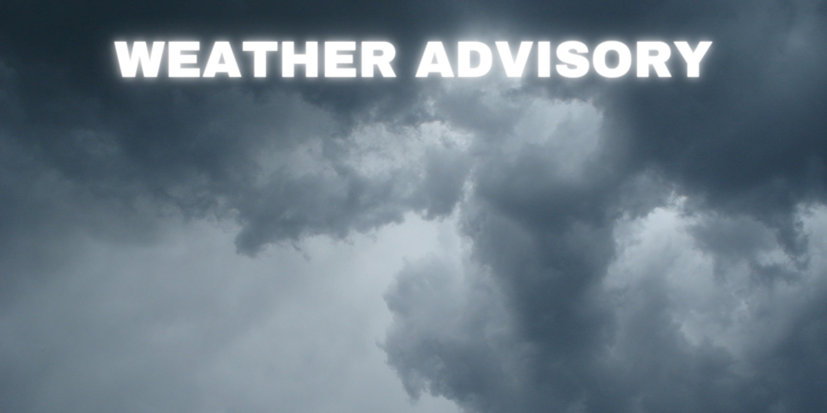
FLOOD WATCH IN EFFECT THROUGH THIS EVENING… This Hazardous Weather Outlook is for portions of northeast Kentucky, and portions of central, northern, southeast, southern and western West Virginia. .DAY ONE…Today and Tonight.
Please listen to NOAA Weather Radio or go to weather.gov on the Internet for more information about the following hazards.
Flood Watch. In addition, numerous strong to severe thunderstorms will be possible this afternoon into tonight. Storms will be capable of producing damaging wind gusts, large hail, and tornadoes.
DAYS TWO THROUGH SEVEN…Wednesday through Monday. Residual flooding concerns may continue into Wednesday, especially if local creeks and rivers rise out of their banks.
SPOTTER INFORMATION STATEMENT… Weather spotters are encouraged to report significant weather conditions by calling the toll-free spotter hotline, or by other methods detailed at www.weather.gov/rlx/reports.


