Canadian Wildfire Smoke causing Reduced Visibility throughout Central WV
Posted onAuthorTalk2shariComments Off on Canadian Wildfire Smoke causing Reduced Visibility throughout Central WV 1878 Views
Hazardous Weather Outlook
National Weather Service Charleston WV
547 PM EDT Wed Jun 28 2023

This Hazardous Weather Outlook is for portions of central West
Virginia including Calhoun and Gilmer

.DAY ONE...Tonight.

Widespread smoke from Canadian wildfires is expected into tonight,
likely causing reductions in visibility and air quality. Please
contact and monitor the latest air quality alerts and information
from your local Department of Environmental Protection.

.DAYS TWO THROUGH SEVEN...Thursday through Tuesday.

There is a marginal risk for severe thunderstorms on Friday. The
main threat is damaging wind and hail. Additionally, localized water
issues are possible Friday through the weekend given repetitive
rounds of rain over the same locations.

Hot and humid conditions may yield heat indices as high as 100
on Saturday.

.SPOTTER INFORMATION STATEMENT...

Weather spotters are encouraged to report significant weather
conditions by calling the toll-free spotter hotline, or by other
methods detailed at www.weather.gov/rlx/reports.
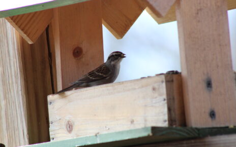
One of my Mother’s favorite past times is to sit in her living room and watch out her double doors to where multiple bird feeders sit among her show worthy rose bushes. I’ve determined to make her picture book of as many bird varieties that I can capture around her home. But in the mean Read More…
Slick roads proved to be the undoing of an early morning commute for Jason King. Heading north on Route 16 he lost control of his Ford Escape coming into a snow covered turn. The vehicle ended up on its side in the ditch but no injuries were incurred.
Phillips Run Area had a near miss at the home of Nathan and Desma Allison High winds and thunder storms moved quickly through Calhoun County shortly before noon, but not before taking down several trees across the area, damaging a few roof tops and some near misses on home damage as well as power outages Read More…